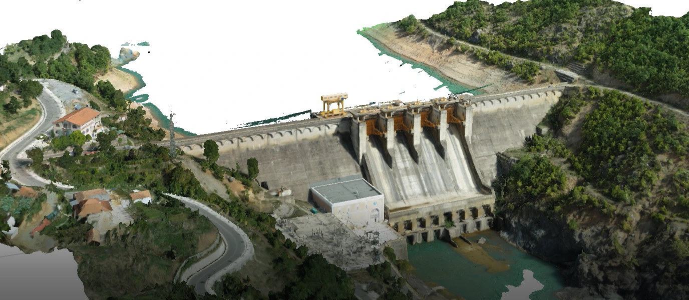
The HPP Ulez Reservoir Flood Risk Assessment was undertaken for the existing 25.2 MW Ulëz Hydropower Plant on the Mat River in northern Albania. The study evaluated the potential flooding impacts in the upstream tail area of the reservoir following the rehabilitation and modification of the dam's spillway gates. Particular attention was given to changes in reservoir water levels and their potential effects on surrounding infrastructure, agricultural land and local communities.
The engineering assessment incorporated UAV-based topographic surveys, GNSS measurements, photogrammetric processing and detailed 3D terrain modelling of the dam and affected reservoir areas. Using the surveyed terrain and assessed water levels, the study delineated potential inundation areas at the reservoir tail and identified three priority zones requiring protective interventions. The analysis considered the effects of reservoir level variations and backwater conditions on local roads, fish ponds, embankments and adjacent private properties.
The study developed flood risk mitigation recommendations and preliminary engineering solutions, including rehabilitation and raising of existing embankments, construction of new flood protection structures, road protection and erosion control measures. Additional recommendations addressed reservoir water-level management and improved flood forecasting to reduce potential risks to infrastructure and surrounding communities.